
What nPoles and nPoles Field mini draw under the survey, and the coordinate systems they work in.
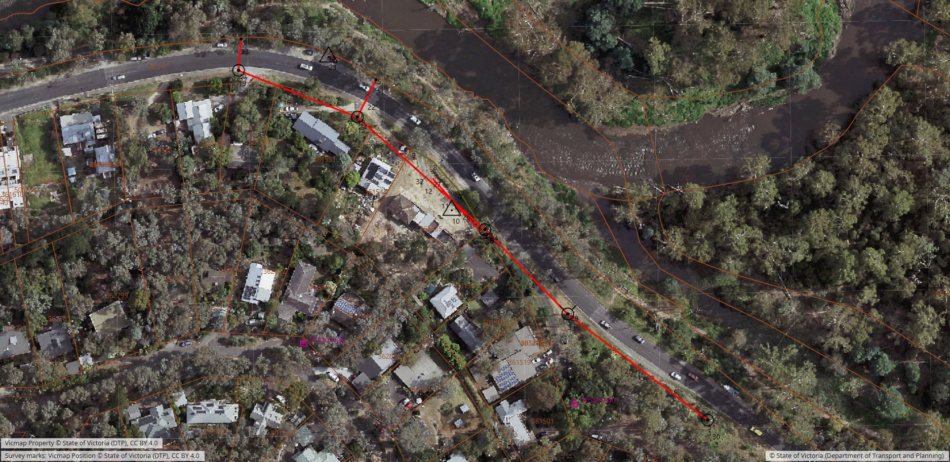
Australia
| Vic | NSW | Qld | SA | Tas | ACT | WA | NT | |
|---|---|---|---|---|---|---|---|---|
| Survey marks | ✓ SMES, with sketch plans | ✓ | ✓ | ✓ | ✓ | ✓ | own data | — |
| Property boundaries | ✓ | ✓ | ✓ | ✓ | ✓ | ✓ | own data | — |
| Basemap | Vicmap aerial and map | NSW imagery, base and topo | aerial | national base map | aerial | national base map | national base map | national base map |
| Ground level for a new point | ✓ | ✓ | ✓ | — | — | — | — | — |
Victoria also has road casements, street names, cadastral corners, contours, spot heights and the coastline. Own data is the surveyor’s own licensed GeoPackage, such as Landgate’s, added under Layers → Map Data. OpenStreetMap is available everywhere.
Overseas
- New Zealand: LINZ survey marks, boundary marks, parcels and roads; aerial imagery with the surveyor’s own free LINZ key.
- Switzerland: all 32,125 published fixed points, cantonal cadastre, swisstopo maps and aerial imagery back to 1946.
- Live property boundaries (desktop): the Netherlands (with the RD survey marks), France and Estonia.
- National maps: Austria, the Netherlands, France, Spain, Germany, Norway, Czechia, Estonia, the United States, Japan, Argentina and Singapore, with Finland and Great Britain on the surveyor’s own free key.
Datums and heights
- Australia: GDA2020 and GDA94 (MGA), AGD66 and AGD84, AHD through AUSGeoid2020, local and mine grids tied to MGA.
- New Zealand: NZGD2000 (NZTM), NZVD2016 through NZGeoid2016.
- Switzerland: CH1903+/LV95, LN02 or LHN95 through CHGeo2004.
- Elsewhere: Ireland (ITM), South Africa (Hartebeesthoek94 LO), ETRS89 on UTM across Europe, and WGS84 UTM worldwide.
Map data remains © its publishers, each credited on screen while its layer is on.