The powerline survey collector in the surveyor’s pocket. An Android app that collects poles, conductors and clearances with the surveyor’s own total station and GNSS receiver, works offline with maps and survey marks, and writes the same job file nPoles opens in the office.
Free for 90 days · Android 9 or later
Measure it once, from the ground
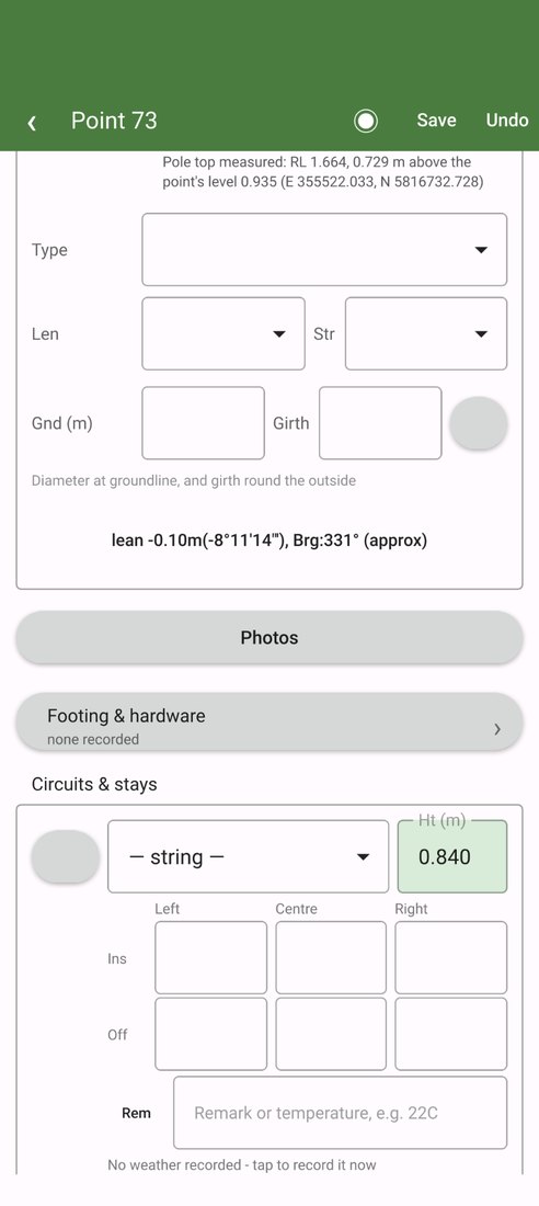
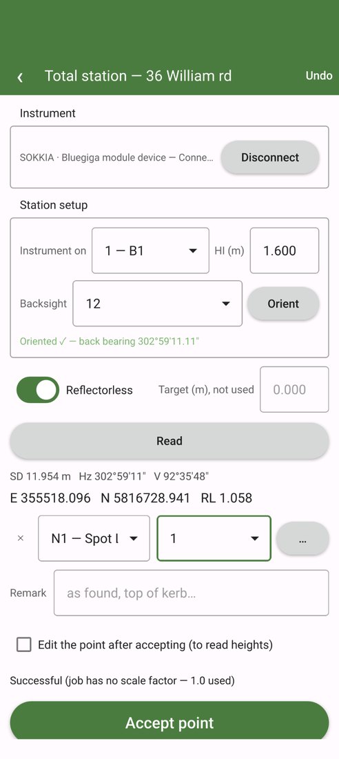
- Poles measured from the ground. Reflectorless shots to the pole top, the crossarm and each conductor give heights, insulator drops and offsets, left, centre and right. Three sights with the total station give the pole’s diameter, and a shot to the top gives its lean.
- Measure an object instead of standing beside it. Faces across a round pole, corners of a pit or pad, the walked edge of a tree canopy: only the centre becomes a point, with the section measured.
- The reading goes where it belongs. Touch the pole top, a circuit height or a stay on the form, take the shot, and the reading lands there.
- Weather with every sag shot. When a conductor height goes in, the air temperature, sun and wind at that moment are recorded against the circuit, from the nearest station and the weather model, so the conditions a sag was measured in travel with the job.
Instruments
Sokkia and Leica (GeoCOM) total stations over Bluetooth or Wi-Fi. RTK GNSS receivers over Bluetooth with NTRIP corrections through the phone, tilt compensation where the receiver reports it, and corrections from the surveyor’s own base. The receiver’s antenna phase centre comes off every height, and the NTRIP stations can be measured from a site before going there, with a line on whether RTK is likely to fix or a base should come too.
The field book, rebuilt
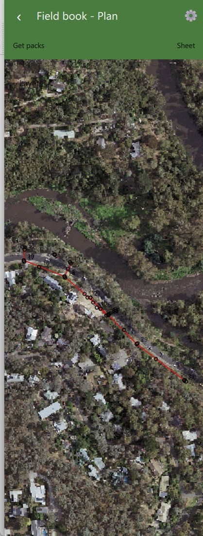
Plan, Sheet and Map views of the job: a plan in the company’s own symbols and line styles, a strip sheet that reads like the paper field book, and a true-scale map. A freehand sketch drawn over the sheet stays with its pole. Photos of the pole’s asset disc and the whole pole, and any others a point needs. Point string names shared with the desktop.
Maps and marks, offline
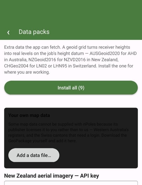
- Data packs for Victoria, New South Wales, Queensland, Tasmania and the ACT, New Zealand, Switzerland and the survey marks, downloaded once and drawn with no signal.
- Aerial imagery and national maps for 17 countries, and map data licensed to the surveyor added from a GeoPackage. Layers load for the area on screen, so they follow the walk down the road.
- Find the mark. Walk to a survey mark or a cadastral corner on the phone’s own GNSS, with distance and direction updated as you go.
- Stake out a point or a line with the receiver, beeping in as the peg gets close.
Calculations and conductor strings
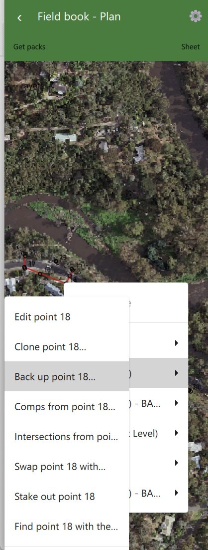
Comps and intersections from any point; swap numbers or positions; clone and t-off. Chart Finder names the stringing chart from the sags measured; Spans and MES; split and join strings and check their order along the line.
In and out
LandXML and CSV in and out: a controller’s export, a spreadsheet, the desktop’s. String and point number clashes are sorted before anything lands, and the whole import is one Undo step. A job goes out through the phone’s share sheet with its photos and survey log, and opens on the desktop unchanged.
Undo, always
Every edit, shot, clone and delete can be undone from the header, 50 steps back, even after the job has been closed and opened again.
Trial and licence
- 90 days free from first use, kept on npoles.com against the phone, so a reinstall does not reset it. After it runs out, each newer Field mini release adds another 30 days.
- Already an nPoles customer? Every nPoles Field or Desktop subscription earns a Field mini licence free for 12 months.
- Kept current. The app updates itself from Settings, and ideas and bug reports go from Settings too, with the answer coming back to the phone.